This site is an Army Corps of Engineers flood control dam for the railroad. The site contains two shade structures, picnic tables, grills, fire pits, garbage cans, and vault toilets.
This is primitive camping at it’s best.
Latitude / Longitude 37.4963, -114.2262
Directions From Caliente: 1) Travel 6 miles north on US 93. 2) Turn right and travel 13 miles southeast down Beaver Dam Road. 3) Stay right at the fork and travel 4 miles south down Barclay Road. 4) Turn left and travel 2 miles south east on Bunker Pass Road. 5) Turn left and stay on Mathews Dam Road for .5 miles to site.
Pictures below are provided by contributors or supporters of this website. If you are interested in sharing your pictures of Nevada, please drop us a note.
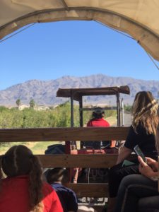
Courtesy S. Ward – The ride to the pumpkin patch