Sporting a 4,800-foot, uncontrolled, paved runway, with a pilot-activated runway lighting system, Perkins Field is located approximately 70 miles northeast of Las Vegas, just minutes from Lake Mead’s Overton Beach in the picturesque Moapa Valley.
Ancient Anasazi ruins are easily accessible at the nearby Lost City Museum and the Valley of Fire State Park is located just a short drive away.
Originally established in 1947, the airport was built to provide an emergency landing area for aircraft departing Nellis Air Force Base. Perkins Field is named for two local young men, Woodruff and Elwood Perkins, who were killed in World Wars I and II, respectively.
Frequency Chart: CTAF 122.8 unmanned
Elevation: 1,358’ MSL
MAG VAR: 14E
Runways: RWY 13/31: 4,800 x 75 ft. (1,463 x 23 m), Surface: Asphalt
Fuel: Grade 100 Gasoline
Pictures below are provided by contributors or supporters of this website. If you are interested in sharing your pictures of Nevada, please drop us a note.
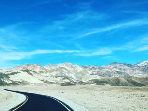
Courtesy S. Ward – Lonely highways and byways