12.5 miles of the 40-mile planned trail network are complete. The trails are only open to mountain biking and hiking non-motorized uses.
The Barnes Canyon trail system is currently under construction and no amenities are available at this time.
Latitude / Longitude 37.6101, -114.4474
Directions From Caliente: 1) Turn toward Clover Canyon Road near the Caliente Thomas Petroleum Warehouse. 2) After approximately 285 feet, turn right onto Clover Canyon Road (parallel to railroad). 3) Travel Clover Canyon Road (turns into Clover Creek Road) for approximately 4.1 miles.* 4) Turn right onto Barnes Canyon Road (turn is at a railroad crossing). 5) Travel .30 miles on Barnes Canyon Road and the Barnes Canyon Trailhead will be on the left. *There is a creek crossing along Clover Creek Road. Higher clearance and/or 4WD vehicles are recommended but not mandatory. Approximate Distance to trails: 4.4 miles Estimated Time: 10-15 minutes
Pictures below are provided by contributors or supporters of this website. If you are interested in sharing your pictures of Nevada, please drop us a note.

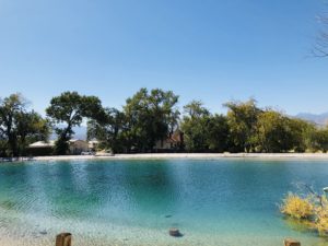
Courtesy S. Ward – Nevada Wildlife Refuge glistening water